

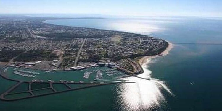
Where Is Hervey Bay on the Map?
The city of Hervey Bay is about a three and a half-hour drive north of Brisbane, or you can enjoy a quick 45-minute direct flight into the city and be welcomed at our new extensions at the Hervey Bay Airport, You can also buy a local Hervey Bay Map after you get off the plane.
This airport now boasts a cafe, and a larger booking area as well as plenty of parking and easy access areas for those acquiring taxis, limousines and for those needing disabled parking.
Virgin Australia is now regular aircraft that fly in and out of the city directly to Sydney many times a week.
The Superb Weather.
Hervey Bay has some of the best weather in Southern Queensland, boasting a maximum average temperature of 29 degrees Celsius in the summer months, and a maximum average of 22 degrees Celsius in the cooler winter months. The average rainfall is 900mm.
More Pages On Hervey Bay
The Sunset Cruise Great Sandy Marine Park has a lot to offer, from stunning scenery to a range of wildlife and marine life. Here are some of the things you can expect to experience on a sunset cruise...
Hervey Bay is a popular retirement destination and has a higher proportion of older residents than some other cities in Australia. However, it is important to note that Hervey Bay is a diverse...